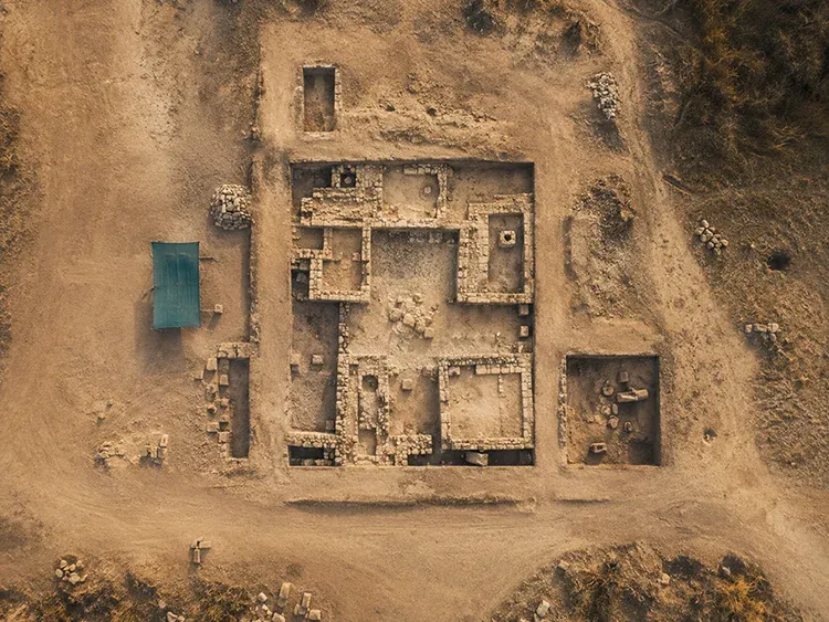
01
Drone mapping
Aerial capture for larger sites, environments, and mapping-oriented documentation, with output that supports clearer viewing, presentation, and project communication.
Deka Hobby is a 3D enthusiast who has worked in this field since 2019, with a strong interest in archaeology, mapping, and photogrammetry. The work is now expanding into Gaussian splatting as part of a broader focus on interactive 3D presentation.
Capture and presentation workflow
01
Aerial capture for larger sites, environments, and mapping-oriented documentation, with output that supports clearer viewing, presentation, and project communication.
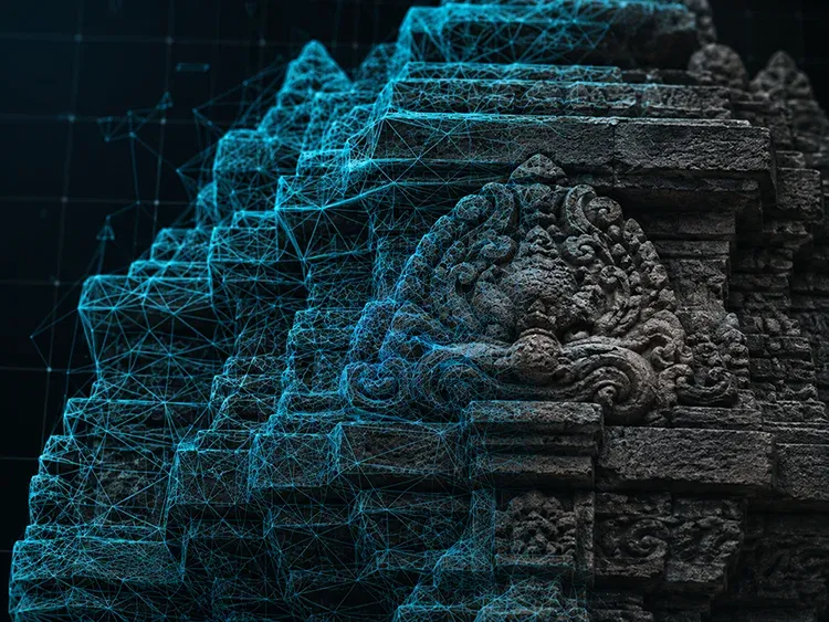
02
High-detail 3D capture that combines drone scanning and mirrorless camera imagery to produce detailed photogrammetry and Gaussian splatting outputs for closer inspection and presentation.
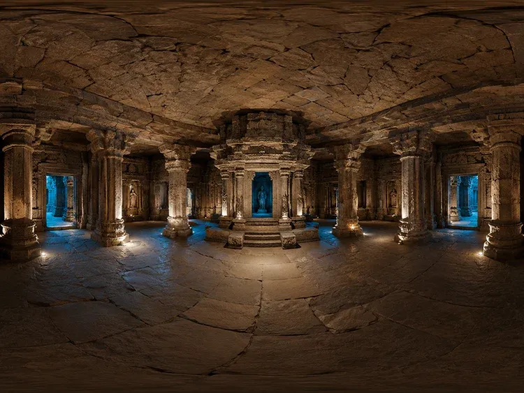
03
Virtual tour and walkthrough output for orientation, room context, and remote viewing, especially when fast access and spatial clarity matter.
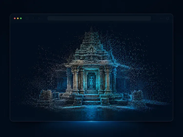
04
Interactive 3D tours, digital twins, and Gaussian splatting presentations designed to be explored, reviewed, and shared directly in the browser.
Tools & gear
Capture real spaces. Publish clear web-based 3D experiences.
Voices
“The 3D walkthrough captured every corner of the site we needed for documentation. Sharing the link instantly replaced three site visits.”
“Clear, fast, and far more interactive than the static photo packs we usually receive. The team picked it up without any onboarding.”